Difference between revisions of "Wolfpine Valley"
From AmtWiki
| Line 20: | Line 20: | ||
*[https://www.google.com/maps/@31.9404041,-95.2492331,17z {{G Maps}}] | *[https://www.google.com/maps/@31.9404041,-95.2492331,17z {{G Maps}}] | ||
*[https://www.facebook.com/groups/1021575294570057/ {{Facebook}}] | *[https://www.facebook.com/groups/1021575294570057/ {{Facebook}}] | ||
| − | *{{ork_chapter| | + | *{{ork_chapter|index=713}} |
[[Category:Active Texas Chapters]] [[Category:Active Freeholds]][[Category:Active Amtgard Chapters]] [[Category:Founded in 2016]] | [[Category:Active Texas Chapters]] [[Category:Active Freeholds]][[Category:Active Amtgard Chapters]] [[Category:Founded in 2016]] | ||
Revision as of 18:58, 30 November 2016
A freehold Shire, located in Jacksonville, Texas
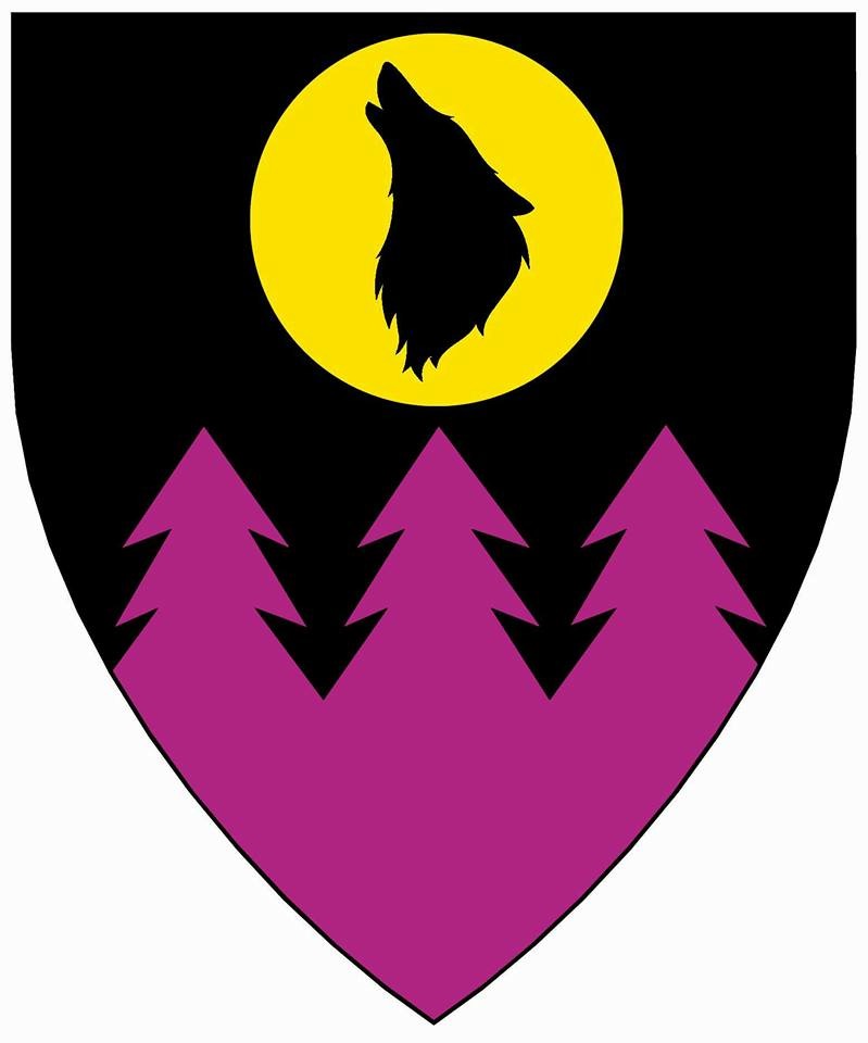
Heraldry
History
Founded in 2016 during the Contract problems. Merged with Roisin Dubh to puck up the Roisin Dubh contract but retain the Wolfpine Valley name in July 2016.
People
Officers
Contacts and Directions
Nichols Green Park II
Entrance on South Highway 69
1923 South Jackson Street
