Difference between revisions of "Sleepy Grass"
| (One intermediate revision by one other user not shown) | |||
| Line 32: | Line 32: | ||
http://i7.photobucket.com/albums/y291/Ztallon/ClanSleepyGrass02.jpg | http://i7.photobucket.com/albums/y291/Ztallon/ClanSleepyGrass02.jpg | ||
| − | + | http://www.camprrm.com/images/DSCF0017.JPG | |
''Sleepy Grass today, looking up to where the merchant's area used to be from the road that ran along the top of the battlefield.... ah, memeories...'' | ''Sleepy Grass today, looking up to where the merchant's area used to be from the road that ran along the top of the battlefield.... ah, memeories...'' | ||
Latest revision as of 16:05, 6 July 2010
Camp Sleepygrass was a magical place, where the Gathering of the Clans was traditionally held for almost two decades. You could almost do place entries for the campsites themselves. Located just outside Cloudcroft, New Mexico, this lovely grassy meadow was about 9000 feet high in the Sacramento Mountains.
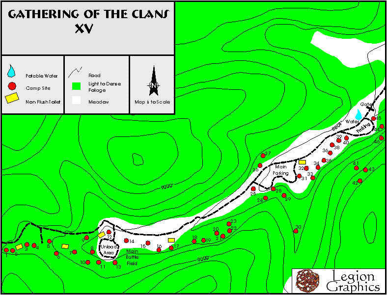
- Sites 3 and 4 were the Golden Lions traditional site
- Sites 5 and 6 were the Claw Legion traditional site
- Sites 14 and 15 were not used for camping, but were the main battlefield (white area was meadow, green was pine forest on map)
- Behind the battlefield was Corsair Hill, just listen for the drums.
- Sites 16-17 was Saracen City, just below the main battlefield.
Other notable sites were Dragonspine on the left side of the road, and the Green Dragons also on the left side.
The camp was stretched out along a long narrow road, which made parking and driving difficult. Being roughly along a line however made wandering from site to site at night a relatively easy affair, despite the grade of the hill.
Sleepygrass was also home to the endangered Checkerspot Butterfly, and its sole food source which grew each summer in the sleepygrass meadow (aka our main battlefield). At some point the forest service decided it was necessary to keep us out to determine if we were having a negative impact on the butterfly population and they moved us to the AtkinsonMeadow site, which was larger, but somehow lacked the magic feeling we had at SleepyGrass.
LOCATION
Sleepy Grass Campground is located off SH 130, 3 miles south of Cloudcroft. Veer left onto FR24B. Interior roads are gravel. Elevation is 8800 feet.
Photos

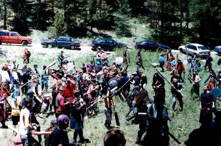
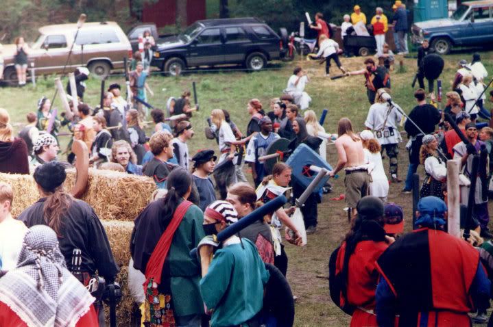
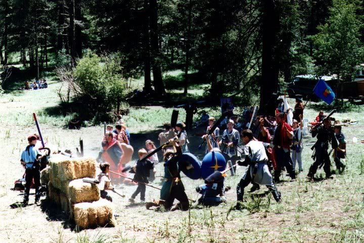
Main battlefield. The vehicles in the background mark the main road that stretched through the site.


Sleepy Grass today, looking up to where the merchant's area used to be from the road that ran along the top of the battlefield.... ah, memeories...
<googlemap version="0.9" lat="32.946742" lon="-105.732808" zoom="15">
32.94183, -105.732878, Sleepy Grass
</googlemap>
