File:Kingdoms 12feb08.jpg
From AmtWiki
No higher resolution available.
Kingdoms_12feb08.jpg (703 × 423 pixels, file size: 98 KB, MIME type: image/jpeg)
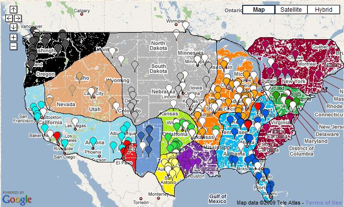
Crude map of the Kingdoms of Amtgard. Based on the ORK Atlas.
Possible non-free file. Possible original source: http://maps.google.com/
File history
Click on a date/time to view the file as it appeared at that time.
| Date/Time | Thumbnail | Dimensions | User | Comment | |
|---|---|---|---|---|---|
| current | 01:10, 13 February 2009 | | 703 × 423 (98 KB) | Hannoske (talk | contribs) | Crude map of the Kingdoms of Amtgard. Based on the Ork Atlas. |
- You cannot overwrite this file.
File usage
There are no pages that use this file.