File:ArrantorMap.png
From AmtWiki
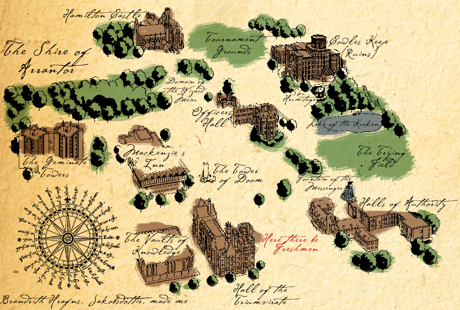
Revision as of 20:07, 25 March 2013 by Brandrith Hrafn (talk | contribs) (A map of the Shire of Arrantor, circa 2011.)
Size of this preview: 800 × 540 pixels. Other resolutions: 320 × 216 pixels | 907 × 612 pixels.
Original file (907 × 612 pixels, file size: 1 MB, MIME type: image/png)
A map of the Shire of Arrantor, circa 2011.
File history
Click on a date/time to view the file as it appeared at that time.
| Date/Time | Thumbnail | Dimensions | User | Comment | |
|---|---|---|---|---|---|
| current | 20:07, 25 March 2013 | | 907 × 612 (1 MB) | Brandrith Hrafn (talk | contribs) | A map of the Shire of Arrantor, circa 2011. |
- You cannot overwrite this file.
File usage
The following page uses this file: