File:Kingdoms of Amtgard.png
From AmtWiki
No higher resolution available.
Kingdoms_of_Amtgard.png (701 × 467 pixels, file size: 114 KB, MIME type: image/png)
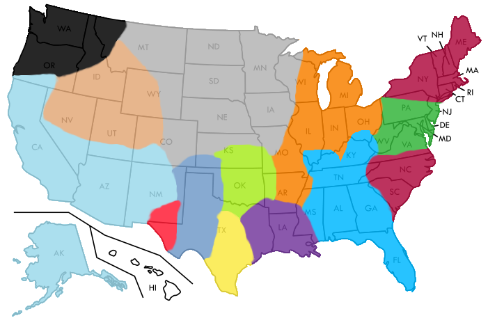
This is an image showing the locations of the various kingdoms of Amtgard. The locations are approximate and based off of this image. The map in used as the base is this map.
This map is licensed Creative Commons Zero.
File history
Click on a date/time to view the file as it appeared at that time.
| Date/Time | Thumbnail | Dimensions | User | Comment | |
|---|---|---|---|---|---|
| current | 00:35, 14 May 2014 | | 701 × 467 (114 KB) | Zellfaze (talk | contribs) | This is an image showing the locations of the various kingdoms of Amtgard. The locations are approximate and based off of this image. The map in used as the base is [[Commons:File:Blank US map borders labels.svg|this map] |
- You cannot overwrite this file.
File usage
The following page uses this file: